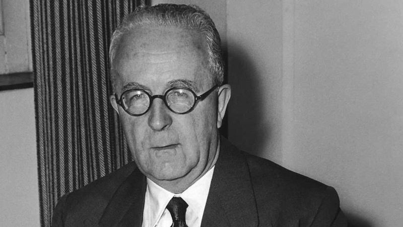
I came across an old map of Punjab and immediately thought of writing this article. How many people know that who drew this border? The answer is Cyril Radcliffe.
The information provided to Cyril Radcliffe who drew the borders and divided India and Pakistan once said that the information given to him about the geography, demographics and even the maps were inaccurate and in some cases even false.
He said that the job of drawing borders was very difficult and it was made even more difficult by the inadequate equipment, maps, and information provided to him. There were no large-scale maps and the information about the geography was inadequate and often wrong. About Punjab, he specifically said he noticed that the 5 rivers in Punjab had a tendency to run several miles away from the beds in the maps given to him by the survey department.
He also said that the information about the demographics was also wrong. And that all this information was falsified by both the parties to falsify the opposition’s claims.
The price was however paid by millions of people who lost their lives during partition.
Apart from religion; it was demography, ignorance, and callousness.
As you can see from the map above; undivided Punjab included the princely states of Patiala, Kapurthala, Jind, Bahawalpur, the Hill States(present-day Himachal Pradesh); stretching all the way to Gurugram(Gurgaon, present-day Haryana, NCR). Lahore was the capital of the undived Punjab; where Muslims were in a slight majority(52%) over the Hindus and the Sikhs who controlled most of the commerce.
After the passage of the Indian Independence Act(1947); Clement Attlee’s Labour government was in a hurry to exit its dominion. So; this consequently resulted in some of the most callous acts in global history. Cyril Radcliffe was given the chairmanship of the two boundary committees. He submitted his partition map on 9 August 1947, which split Punjab and Bengal almost in half. The new boundaries were formally announced on 14 August 1947—the day of Pakistan’s independence and the day before India became independent.
Radcliffe’s efforts saw some 14 million people—roughly seven million from each side—flee across the border when they discovered the new boundaries left them in the “wrong” country. Some 500,000 people died in the violence that ensued after independence, and millions more were injured.
The Punjab – the region of the five rivers east of Indus: Jhelum, Chenab, Ravi, Beas, and Sutlej — consists of interfluvial doabs or tracts of land lying between two confluent rivers.
Doab (from dō, “two” + āb, “water” or “river”) is a term used in India and Pakistan for the “tongue,” or tract of land lying between two converging, or confluent, rivers.
These are the Sind-Sagar doab (between Indus and Jhelum), the Jech doab (Jhelum/Chenab), the Rechna Doab (Chenab/Ravi), the Bari doab (Ravi/Beas), and the Bist doab (Beas/Sutlej) In early 1947, in the months leading up to the deliberations of the Punjab Boundary Commission, the main disputed areas appeared to be in the Bari and Bist doabs, although some areas in the Rechna doab were claimed by the Congress and Sikhs. In the Bari doab, the districts of Gurdaspur, Amritsar, Lahore, and Montgomery (Sahiwal) were all disputed.
After arriving in India on 8 July 1947, Radcliffe was given just five weeks to decide on a border.Each boundary commission consisted of 5 people – a chairman (Radcliffe), 2 members nominated by the Indian National Congress and 2 members nominated by the Muslim League.
All lawyers by trade, Radcliffe and the other commissioners had all of the polish and none of the specialized knowledge needed for the task. They had no advisers to inform them of the well-established procedures and information needed to draw a boundary. Nor was there time to gather the survey and regional information. The absence of some experts and advisers, such as the United Nations, was deliberate, to avoid delay. Britain’s new Labour government deep in wartime debt, simply couldn’t afford to hold on to its increasingly unstable empire.
The absence of outside participants—for example, from the United Nations—also satisfied the British Government’s urgent desire to save face by avoiding the appearance that it required outside help to govern—or stop governing—its own empire.
Prior to his appointment; Radcliffe had never been to India, and after the partition never came back(partly due to guilt; and he was also a little afraid). Radcliffe justified his casual division with the fact that whatever he would do; people were going to suffer. Before leaving India; he destroyed most of his papers.
To maintain his impartiality; he kept a distance from Mountbatten. As for the fact that India had a larger population to feed; this simply did not figure in the map-makers mindscape. Hindus, Muslims, and Sikhs were evenly spread in the Punjab; and most places witnessed large-scale migrations on both sides of the imaginary Radcliffe line. He initially decided to give Lahore to India but backtracked as Calcutta was going to be part of the republic. Radcliffe wanted to balance out the whole play; regardless of its human quotient. To give India access to Kashmir; Gurdaspur was awarded at the last moment. So; to sum up it was largely a case of cartography deciding history and destiny.


